Our Traditional Waters
Our traditional waters are among the most biologically diverse coldwater marine environments on the planet.
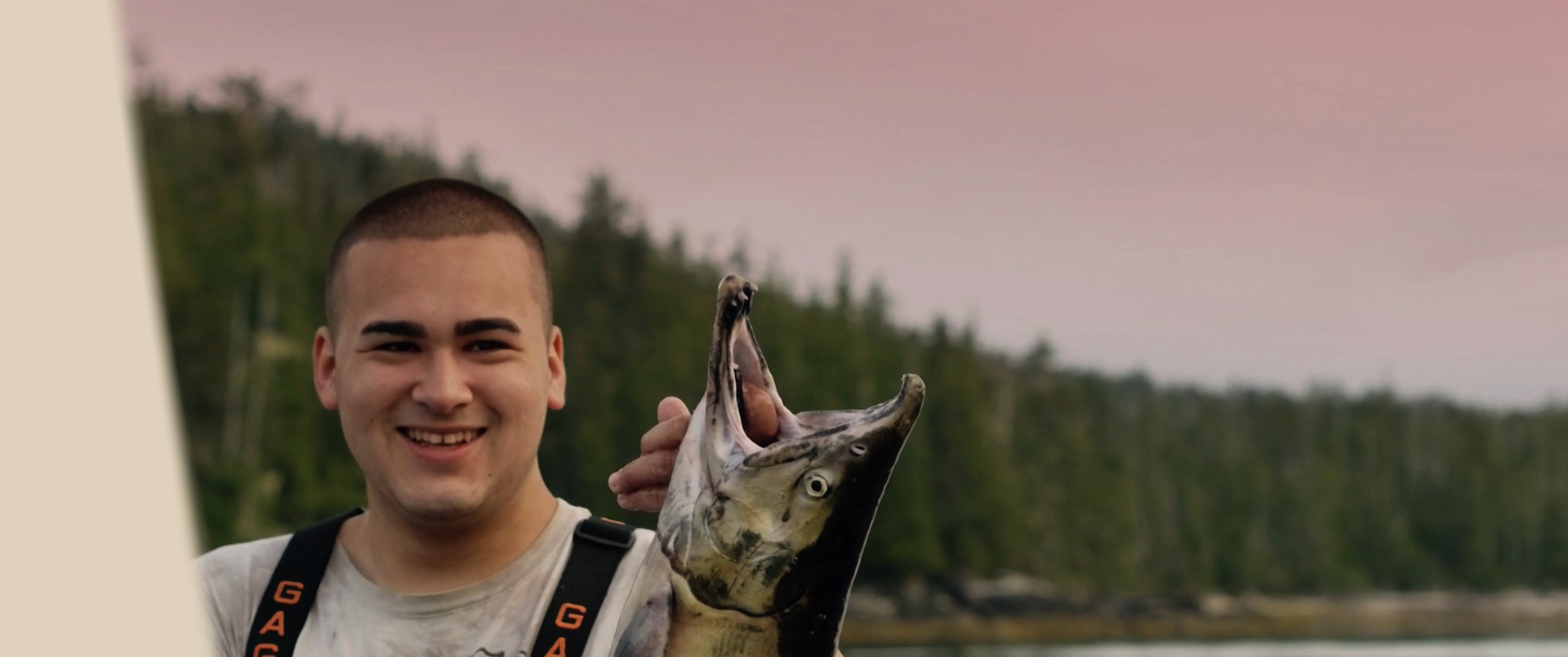
Our traditional waters are among the most biologically diverse coldwater marine environments on the planet.
In 2000, First Nations on the Pacific North Coast formed an alliance through the Coastal First Nations Great Bear Initiative. Our aim was to have greater access to resources in our Traditional Territories and a greater say in how they were managed.
To achieve this, CFN members have worked together to reach innovative land use planning agreements with the provincial government.
Coastal First Nations have carefully managed the marine areas of our Traditional Territories for millennia. We have brought this vision, experience and Traditional Knowledge to the leadership of modern marine use planning processes on the Pacific north coast.
Since March 2010, Coastal First Nations have upheld a ban on oil tankers carrying crude oil through our Traditional Territories. The Coastal First Nations Great Bear Initiative has led wide-spread opposition to the Enbridge Northern Gateway Project and called for a moratorium on all oil tanker traffic on the north Pacific coast.
Coastal First Nations are very proud of our achievements on land in the Great Bear Rainforest on British Columbia’s north Pacific coast.
Working collaboratively with governments, industry and other groups, we have created one of the best terrestrial conservation and economic development models the world has seen – a vast land plan that promises to protect 85 per cent of our old-growth forests.
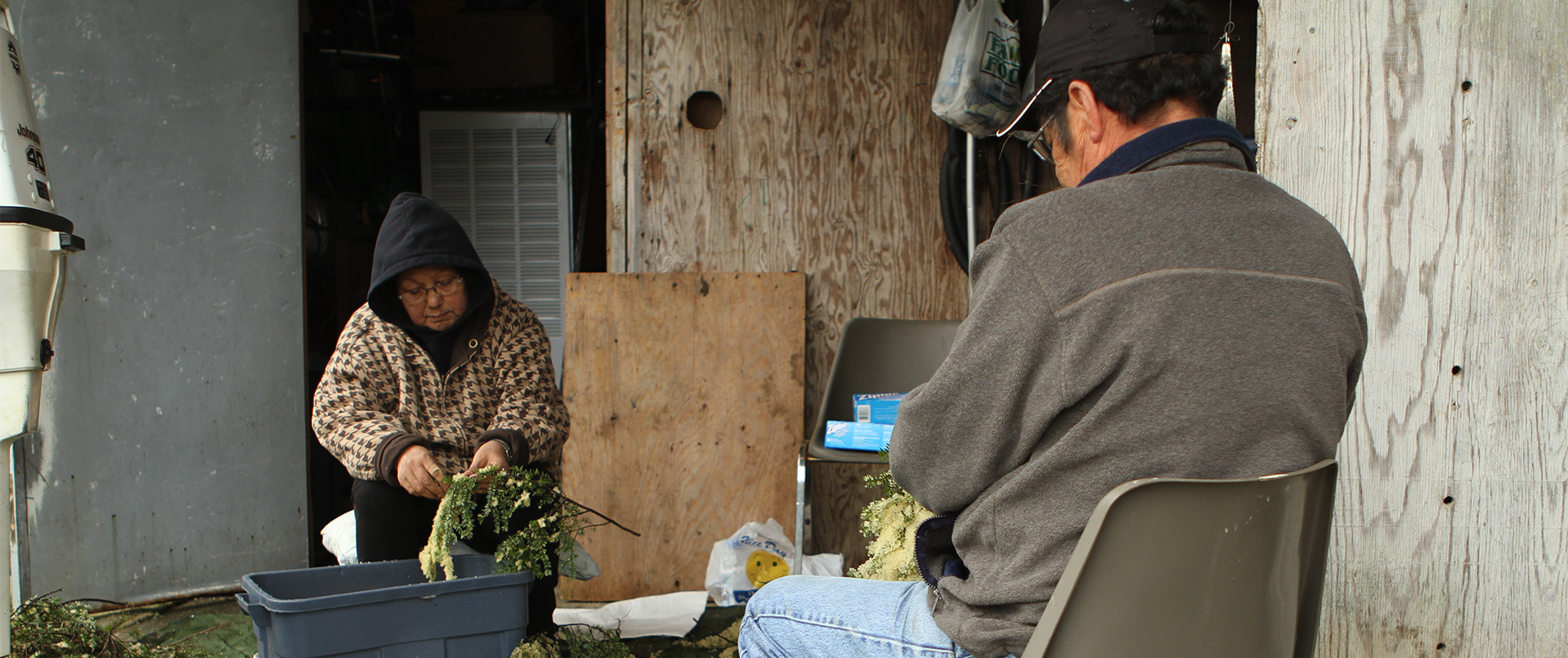
Marine stewards for thousands of years, First Nations have a unique relationship with our ocean environment. We have a deep understanding of marine areas in our Territories and the interrelationships between marine species and their ecosystems.
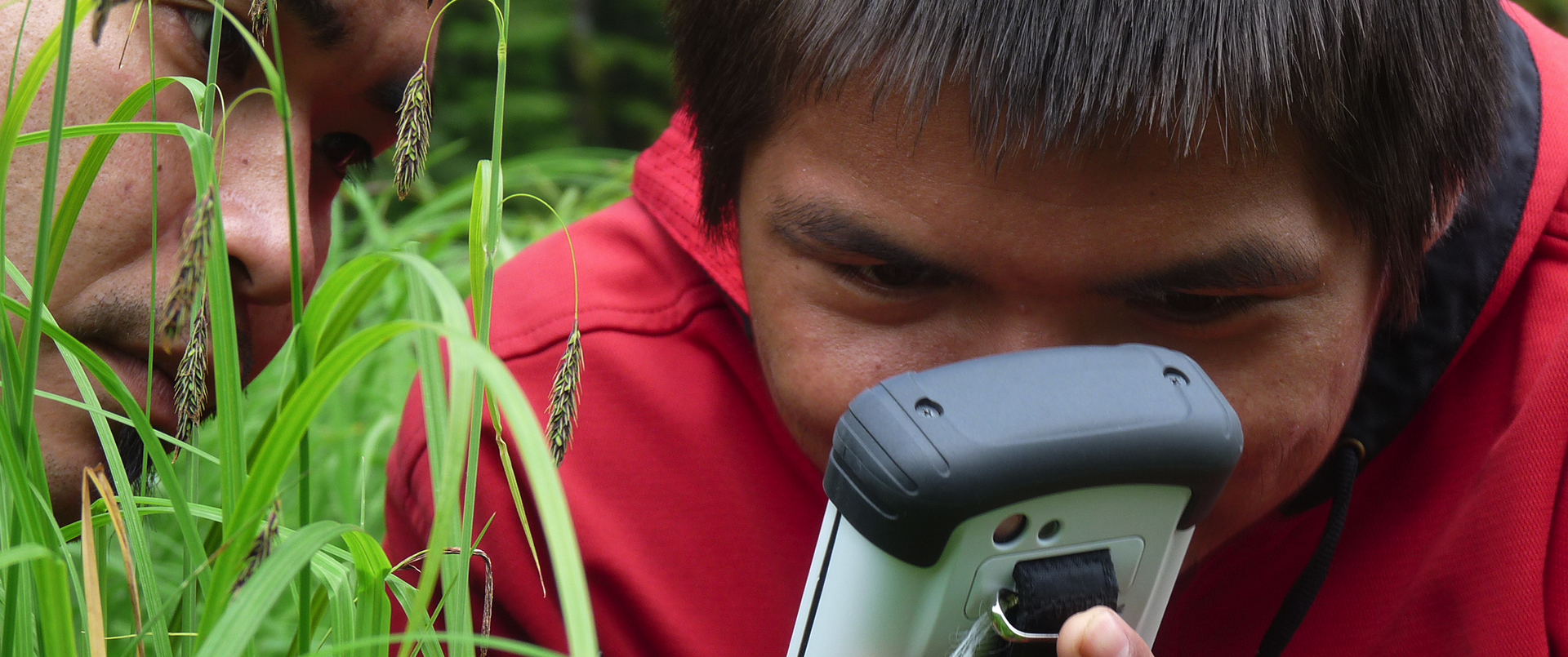
Coastal Nations on the North and Central Coast, and Haida Gwaii are bringing together ancient knowledge with modern science to manage our ocean resources and traditional waters.
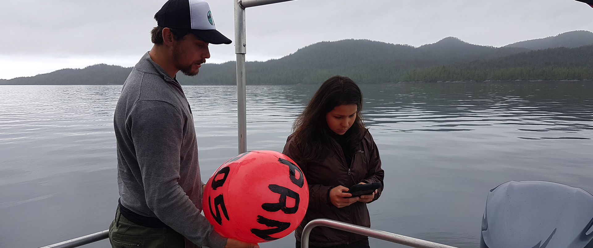
Coastal First Nations have been practicing ‘eco-system-based management’ of the land and sea for countless generations.
For more than 10-thousand years, our traditional resource management practices have sustained some of the richest cultures and societies on the planet.
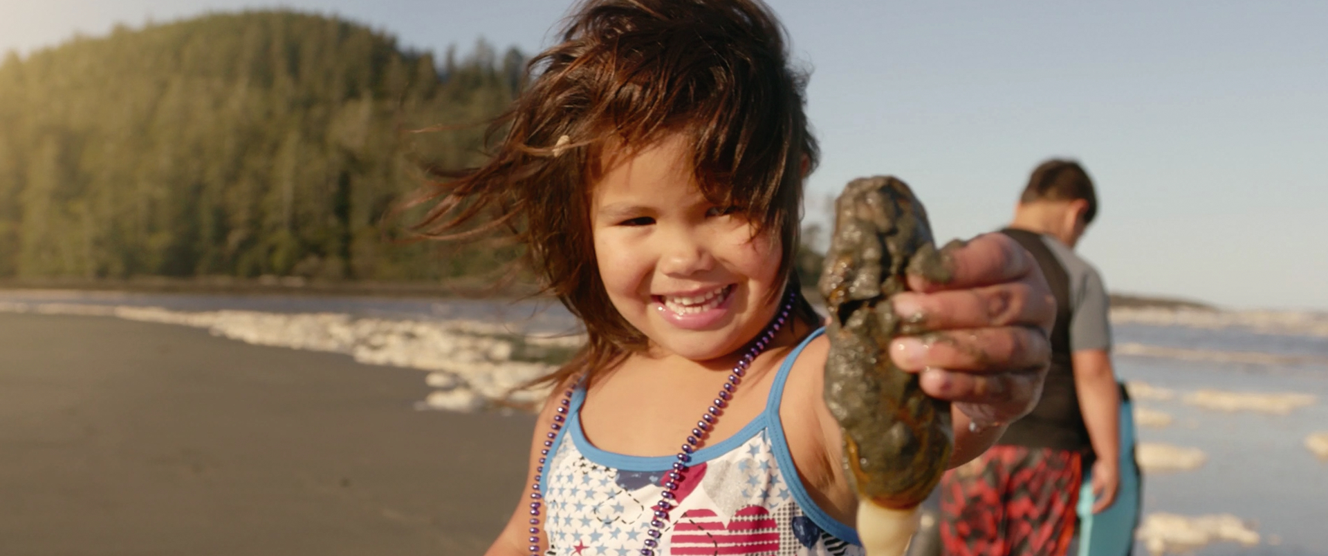
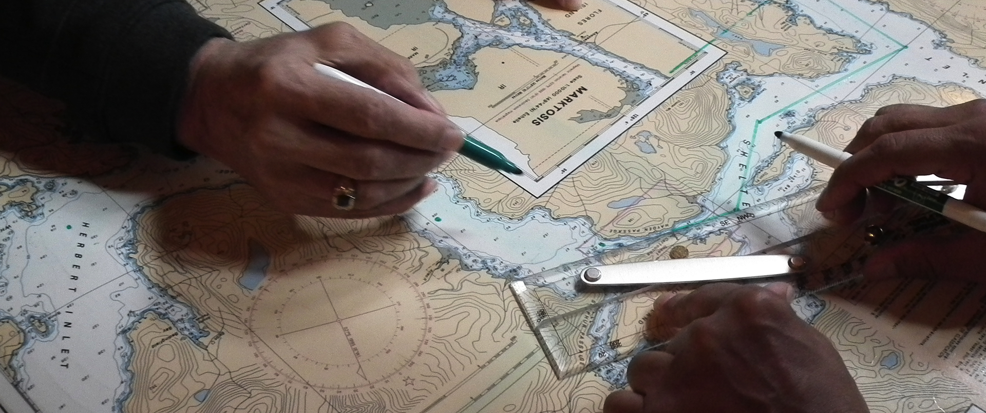
Integrated marine use planning on the British Columbia coast has been a collaborative process bringing together First Nations and other governments to determine the sustainable resource use of marine areas.
Similar to First Nations land use planning approaches, marine use plans merge ancient First Nations knowledge with modern science in an ecosystem-based approach to resource management.
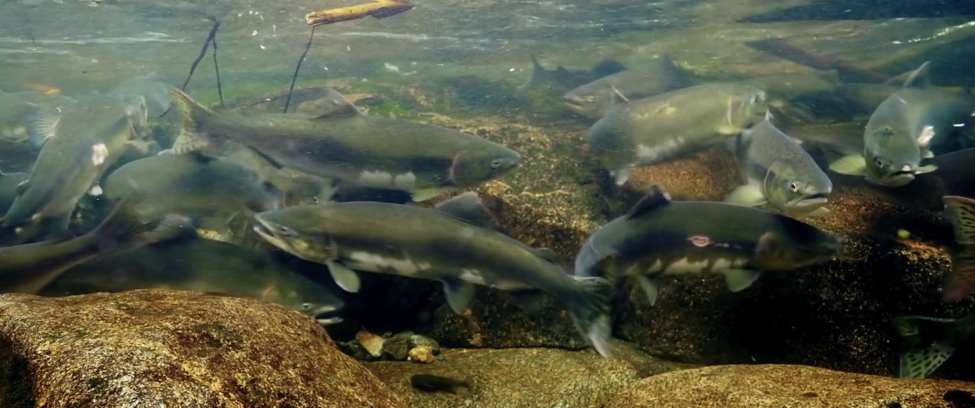
In 2015, First Nations and the Province of British Columbia signed off on a plan for one of the largest marine planning areas in the world.
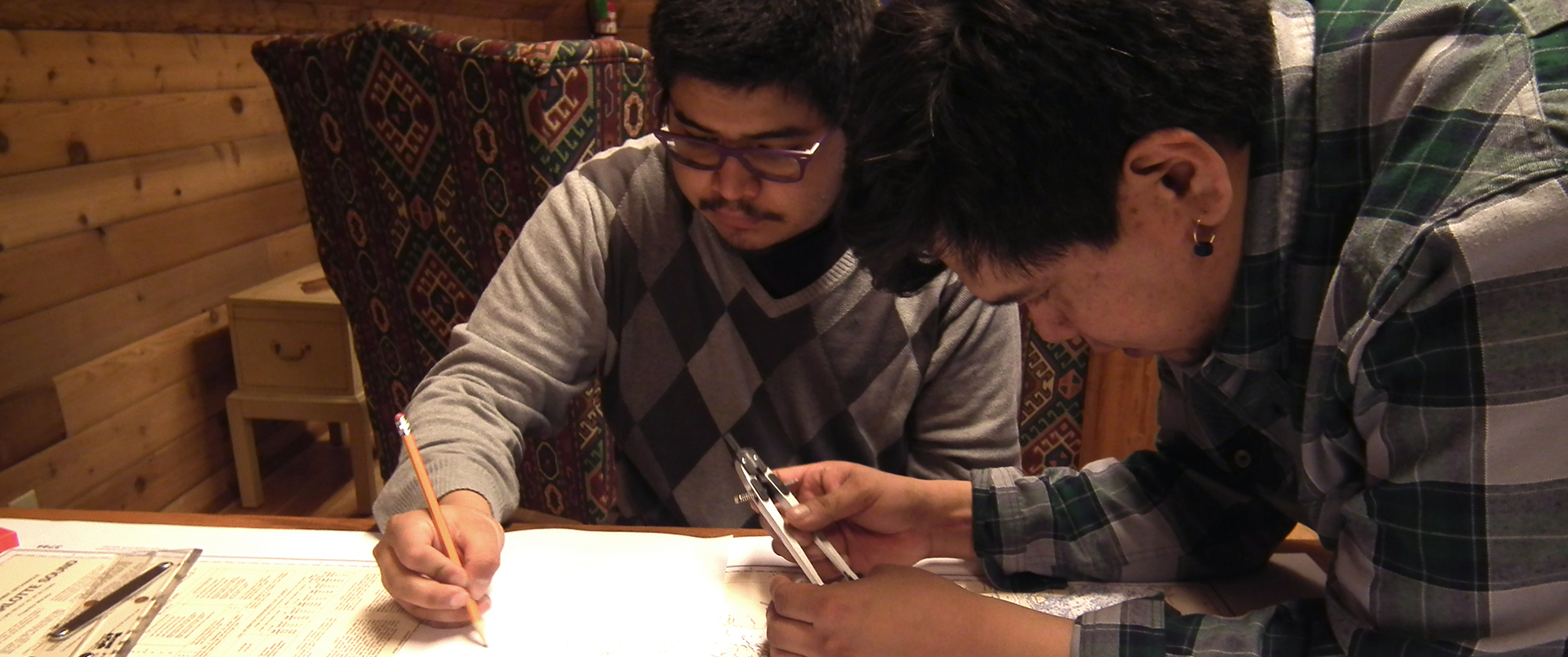
Like the sub-regional plans, the RAF takes an ecosystem-based management approach. It addresses issues based on First Nations and provincial priority interests – including regional governance; ecological integrity and human well-being; emergency response, compliance and enforcement; zoning recommendations; and implementation.
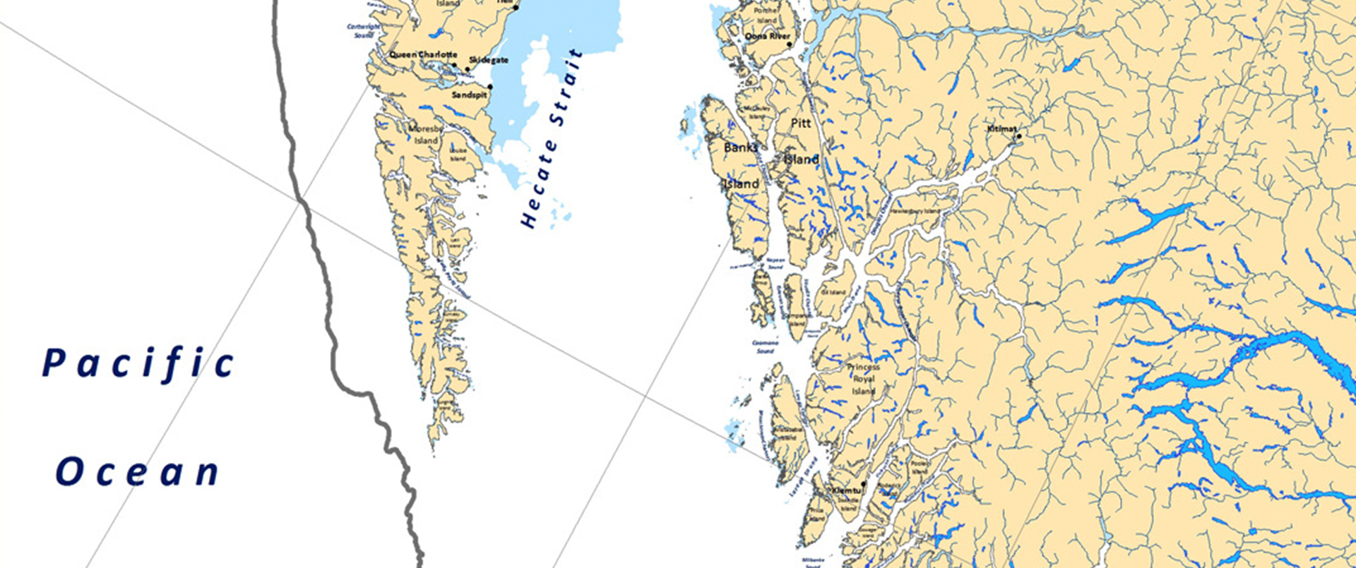
The Central Coast Marine Plan was developed jointly by the Heitsuk, Kitasoo/Xai’Xais, Nuxalk and Wuikinuxv Nations (through the Central Coast Indigenous Resource Alliance (CCIRA)) and the Province of BC – with input from communities, stakeholders, local governments and the public.

The North Coast Marine Plan was developed through the Gitga’at, Gitxaala, Haisla, Kitselas, Kitsumkalum and Metlakatla First Nations – supported by the North Coast- Skeena First Nations Stewardship Society in collaboration with the Province of British Columbia.
The Haida Gwaii Marine Plan was developed with the co-leadership of the Council of the Haida Nation and the Province of British Columbia with input from local communities, industry and other coastal stakeholders.
The MaPP plan will be put into action over five years with these five strategic outcomes
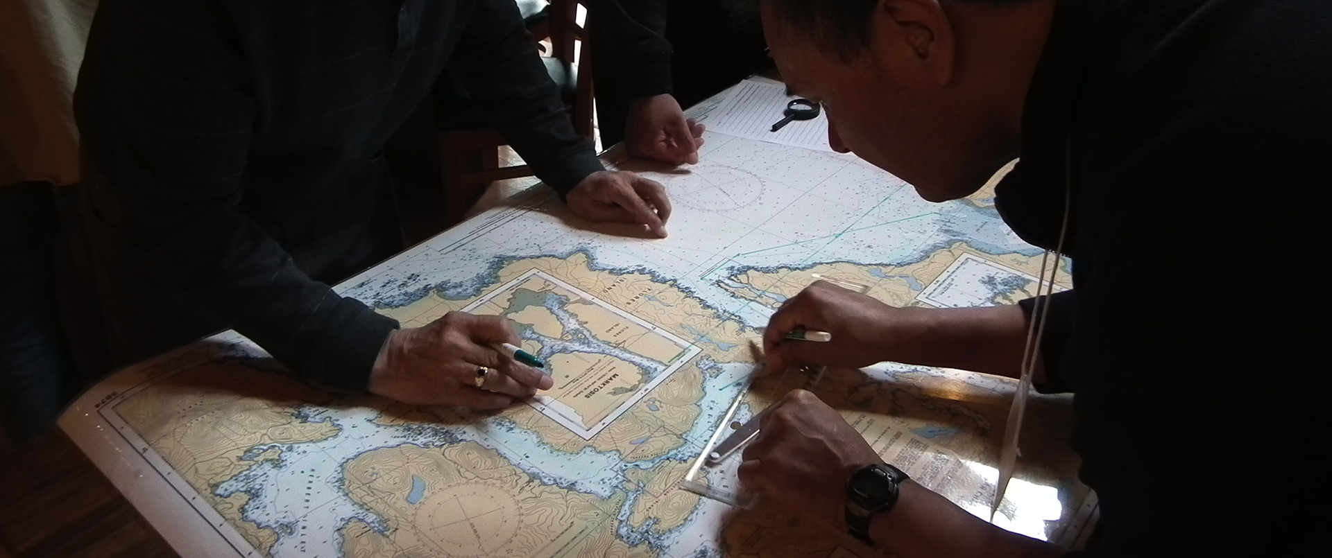
Through the MaPP process, First Nations and the BC government completed spatial marine plans with the help of SeaSketch – a planning tool that allows users to look at many different layers of data together to learn more about the MaPP study area.
The SeaSketch portal provides more than 250 data layers that can be combined to provide a full picture of planning options: from species and habitats to First Nations cultural sites, traditional food harvesting areas and other marine uses.
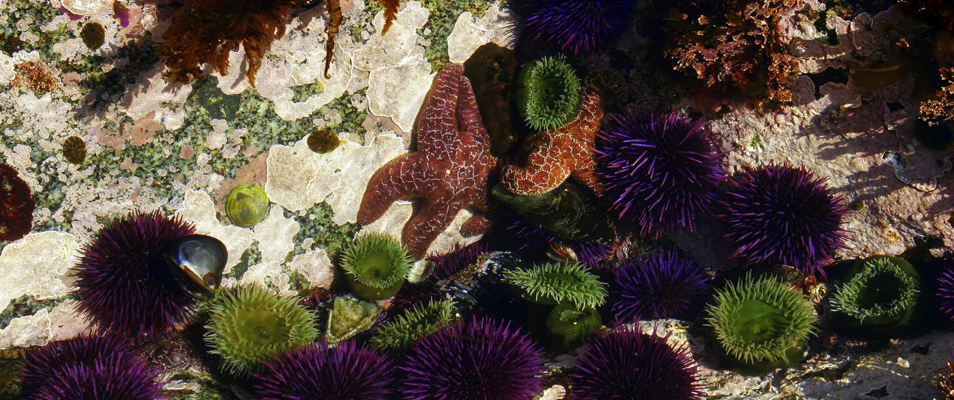
The Pacific North Coast Integrated Management Area (PNCIMA) is an agreement creating a collaborative model for ocean governance that ensures First Nations’ meaningful participation in the development of marine use management plans for the north Pacific coast.
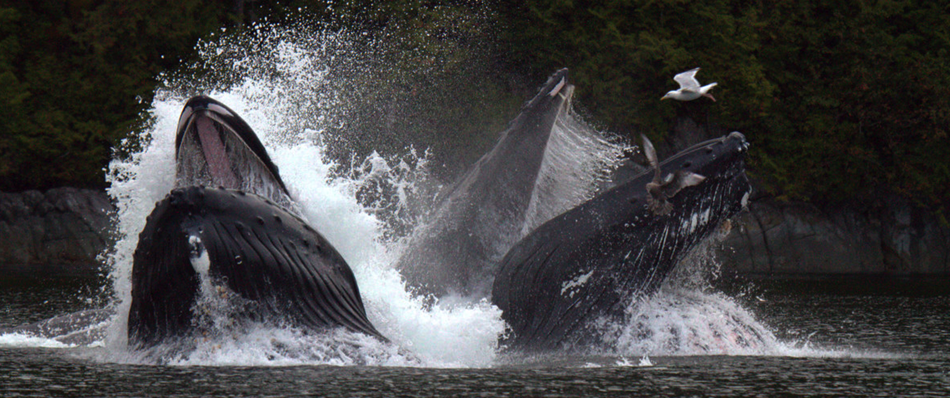
Ocean resources are our lifeline. They define who we are as Coastal First Nations people.
That’s why protection and sustainable economic development are the foundation of our marine plans for our traditional waters.
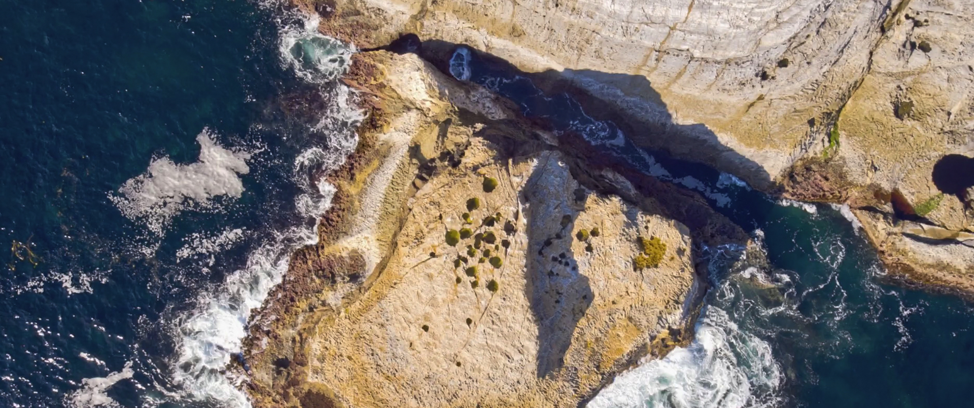
Marine Protected Areas (MPAs) are one management tool that can help address human impacts on our oceans from overfishing, pollution and climate change.
Marine Protected Areas are ocean areas set aside – from sea floor to surface – for conservation. Like parks on land, they provide protection from activities such as commercial fishing, shipping and industrial activity.
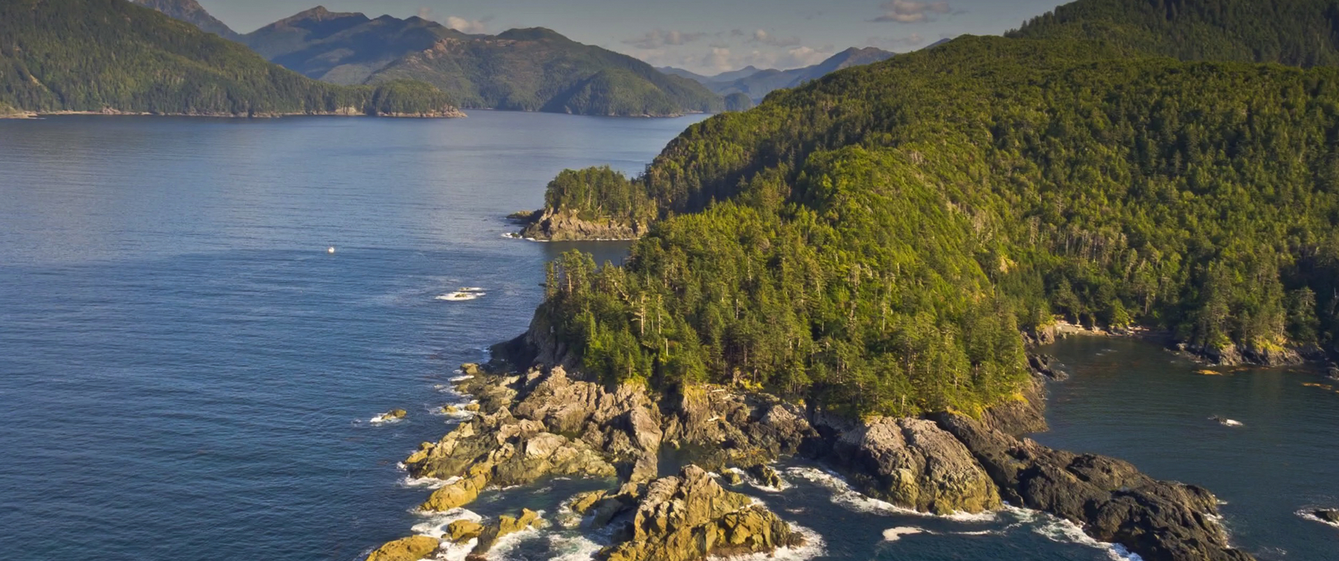
The Northern Shelf Bioregion Marine Protected Area Network planning process will establish a coastal network of Marine Protected Areas (MPAs) for the north Pacific coast of British Columbia.
Led by 17 First Nations, the Province of BC and Canada, the process aims to protect the species and ecosystems underpinning our ocean economy.
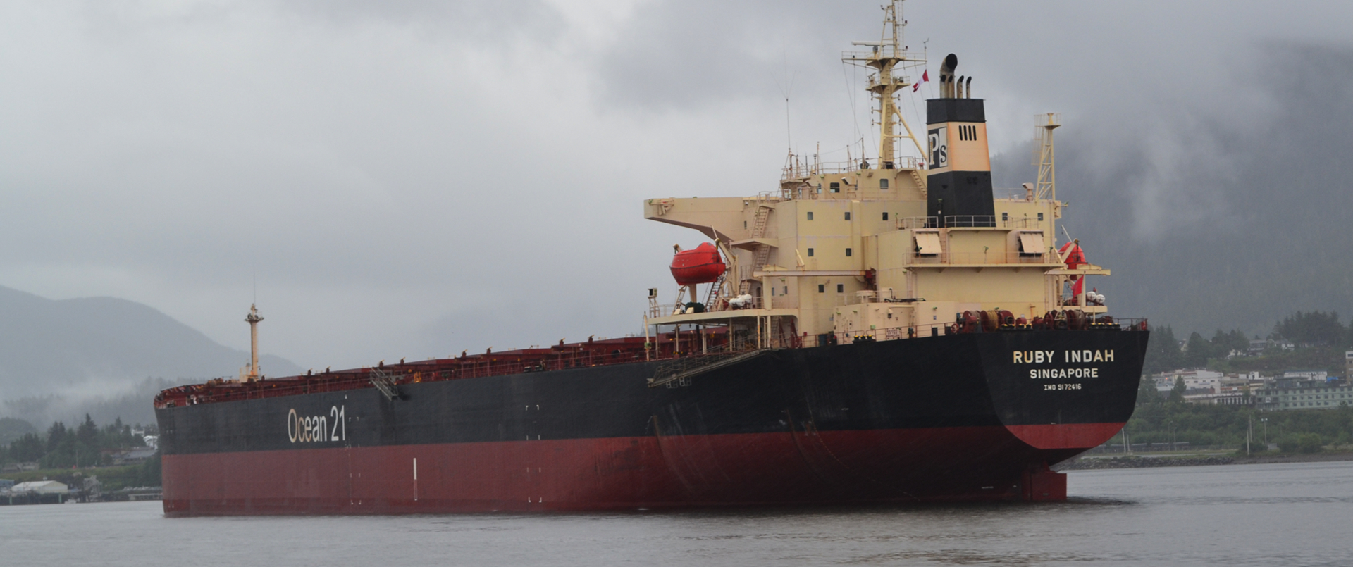
British Columbia’s north Pacific coast is one of Canada’s most important trade corridors. It is also home to the Great Bear Region – a global ecological treasure.
Coastal First Nations, Canada and the Province of BC have invested in world-leading ecosystem-based management for both land and sea in the region.
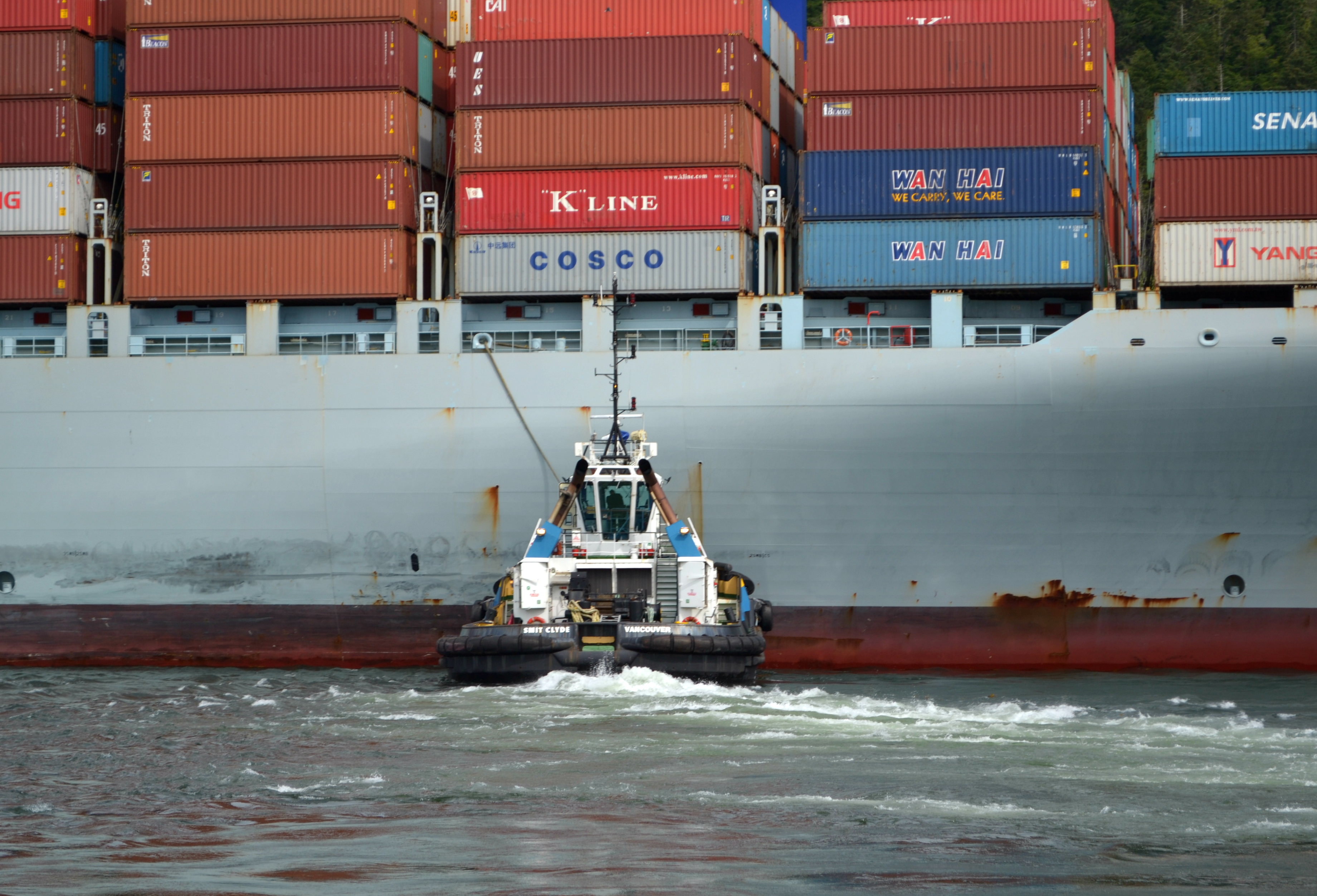
Coastal First Nations believe It’s time for a new conversation about shipping traffic in our traditional waters.
Right now all decisions about commercial shipping traffic in our Traditional Territories happen with no consideration of our Aboriginal Rights and Title.
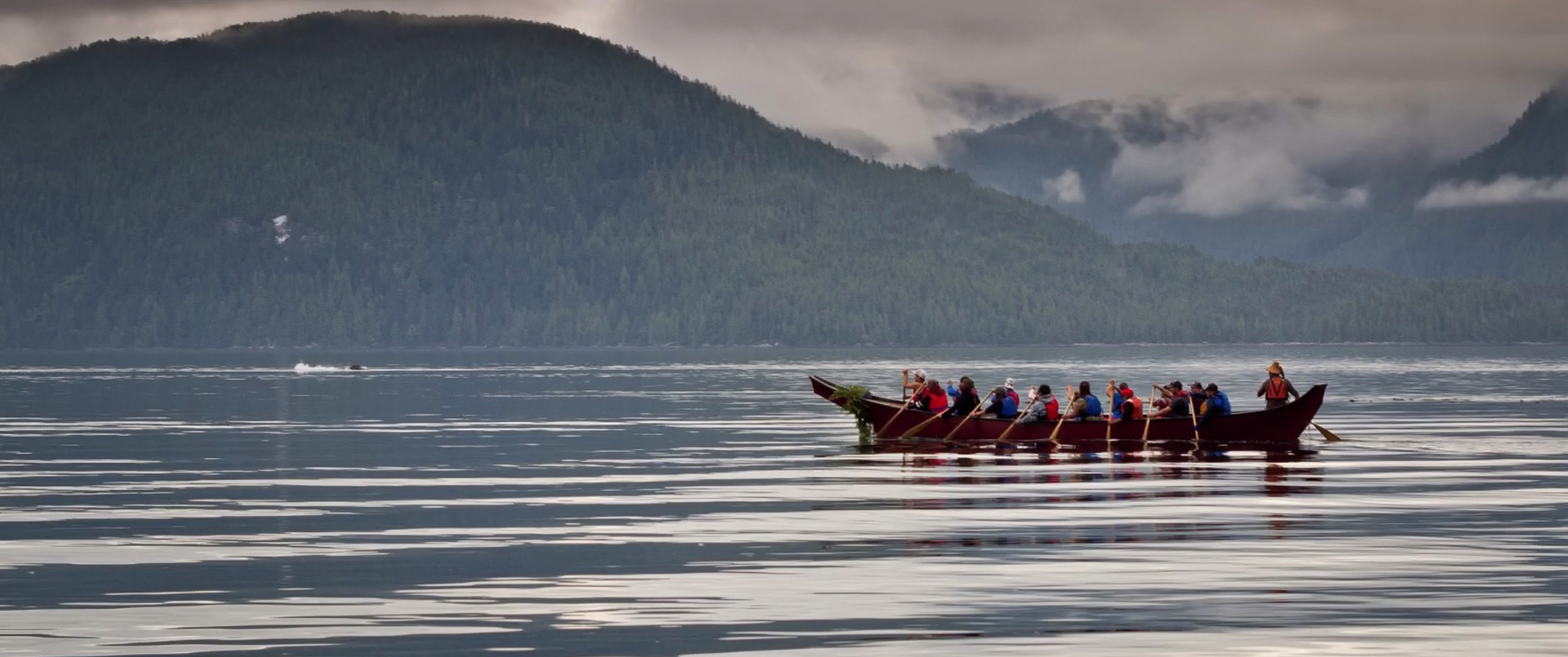
Since early 2000, coastal First Nations have been at the forefront of developing a sustainable conservation economy and establishing shared decision-making over the land and waters of our Traditional Territories.
In 2016, the Great Bear Rainforest Accord, led by First Nations, marked the culmination of years of conflict and negotiation, and brought an end to destructive industrial resource practices in the Great Bear region.
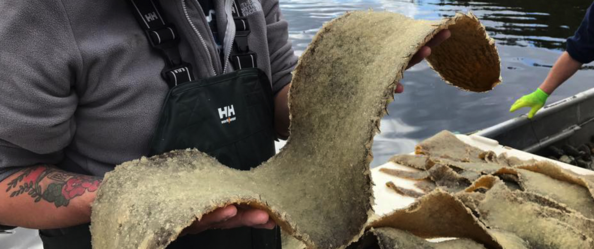
Through Coastal First Nations and the North Coast Skeena Stewardship Society, First Nations communities have come together to build a Fisheries Reconciliation Table with Canada.
In early 2017, First Nations, Canada and the Province of British Columbia endorsed the Pacific North Coast Integrated Management Area initiative. The PNCIMA plan supports strategic marine use planning and ocean management in our marine territories.
With its commitment to PNCIMA, the federal government agreed to join First Nations in establishing the first national model of collaborative governance for marine use planning.
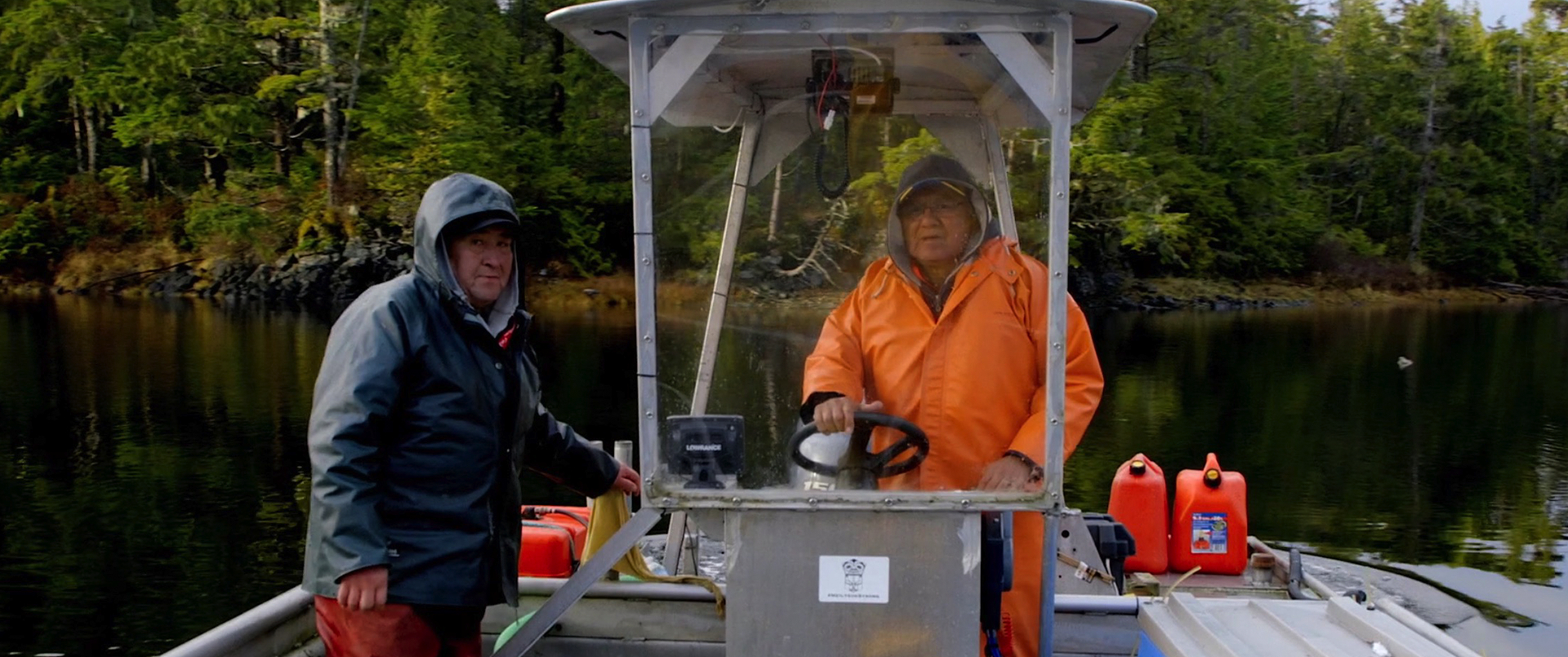
It’s time for a better approach to managing regional shipping traffic. First Nations want a new shipping plan and a greater say in how shipping traffic and emergency response are managed in our waters.
For years, First Nations have watched shipping increase along the central and north Pacific coast, with little consideration for the health and safety of our communities and marine territories.