Partnerships & Innovation
Overview
To ensure a bright and healthy future for coastal communities, our leaders recognize that we must embrace new technologies and innovation. Our prosperity depends fundamentally on how we adapt to new ways of doing things, while staying true to our unique understanding of the interconnectedness of all that surrounds us—of nature, community and family.
CFN’s Partnerships & Innovation program is creating new partnerships with organizations—including Microsoft Canada, Rogers and other technology leaders and community partners—who support our long-term goals and shared vision of a conservation-based economy.
We are building the future we want for our communities and youth, while protecting coastal ecosystems and preserving our self-determination. Local knowledge is integral to the long-term success of these efforts, which are Indigenous-led, co-developed, and inclusively designed to support community priorities and solutions.
investing in What Matters
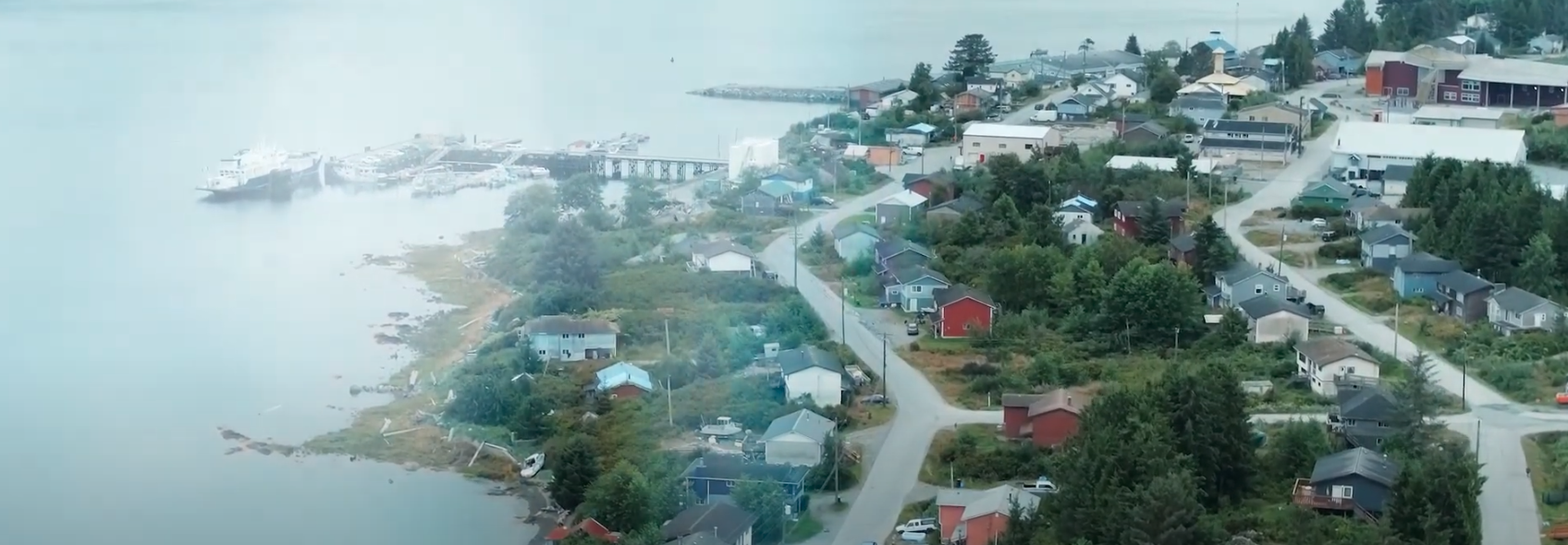
Watch The VideoConnecting the Coast
In collaboration with Canada’s Digital Supercluster and other partners and communities, CFN is creating an innovative Coastal First Nations Connectivity Network centred on health, language, stewardship and digital skills training.
To build the network, CFN is hiring, training and empowering local residents to become technology leaders in each of our three sub-regions—the North Coast, Central Coast and Haida Gwaii. These Connectivity Coordinators will host community engagement sessions to discuss digital, infrastructure and broadband needs, as well as technical skills and trades required to thrive in the digital economy. In the process, they will be able to learn about the unique needs and priorities of community leaders, as well as local businesses and residents.
This network will create new opportunities for local businesses and give young people a chance to succeed while staying rooted in their home. It will be the foundation for a future digital economy on the coast and a winning model of collaborative innovation for other Indigenous communities across Canada.
Related Post
-
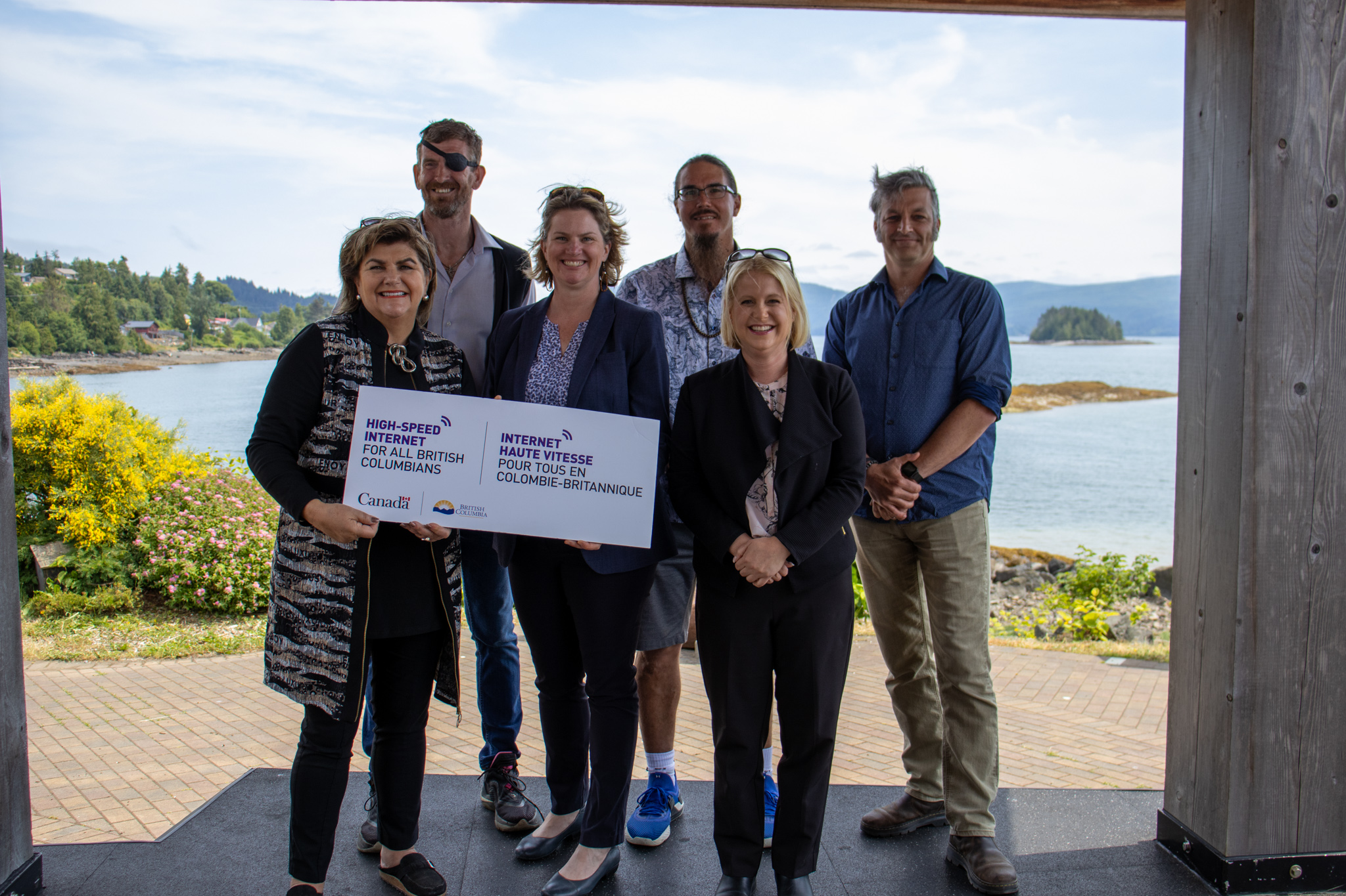
Connected Coast: New tech investments celebrated on Haida Gwaii
Read StoryCFN and the Haida Nation gathered with provincial and federal leaders, and technology partners, including Rogers, Microsoft and Telus, to commit to new investments in innovation and technology across the coast.
Explore more stories:
Resources
CFN produces a wide range of reports, fact sheets and other publications. Check back regularly, as we will post new resources here.