Regional Marine Planning
Overview
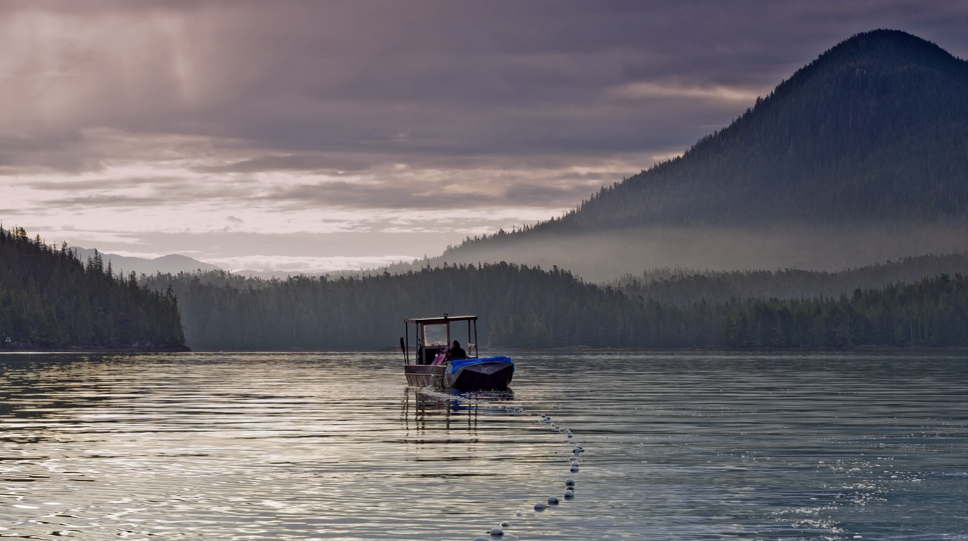
Through a Regional Action Framework, coastal First Nations are working collaboratively with other governments and stakeholders to create marine use plans for the North Pacific Coast.
This collaborative planning employs an ecosystem-based management approach to identify marine uses that support social and economic well-being of coastal communities, while protecting and preserving marine ecosystems and resources.
The planning framework addresses issues based on First Nations and provincial priority interests, including regional governance, emergency response, compliance and enforcement and zoning recommendations. These plans are consistent with First Nations constitutional rights and do not in any way define or limit the title and rights of First Nations.
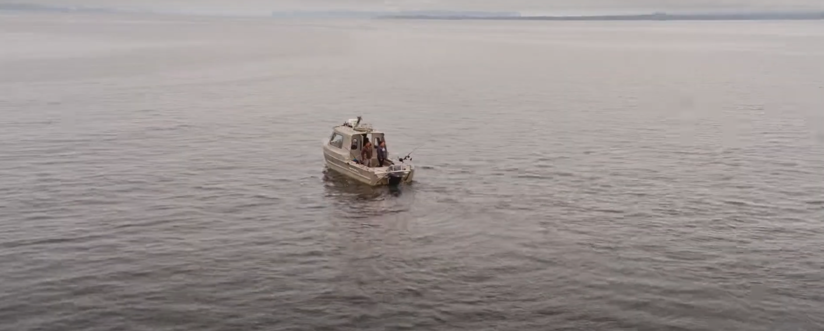
Marine Use Planning – Everything is Connected
Watch The VideoMarine Plan Partnership for the North Pacific Coast
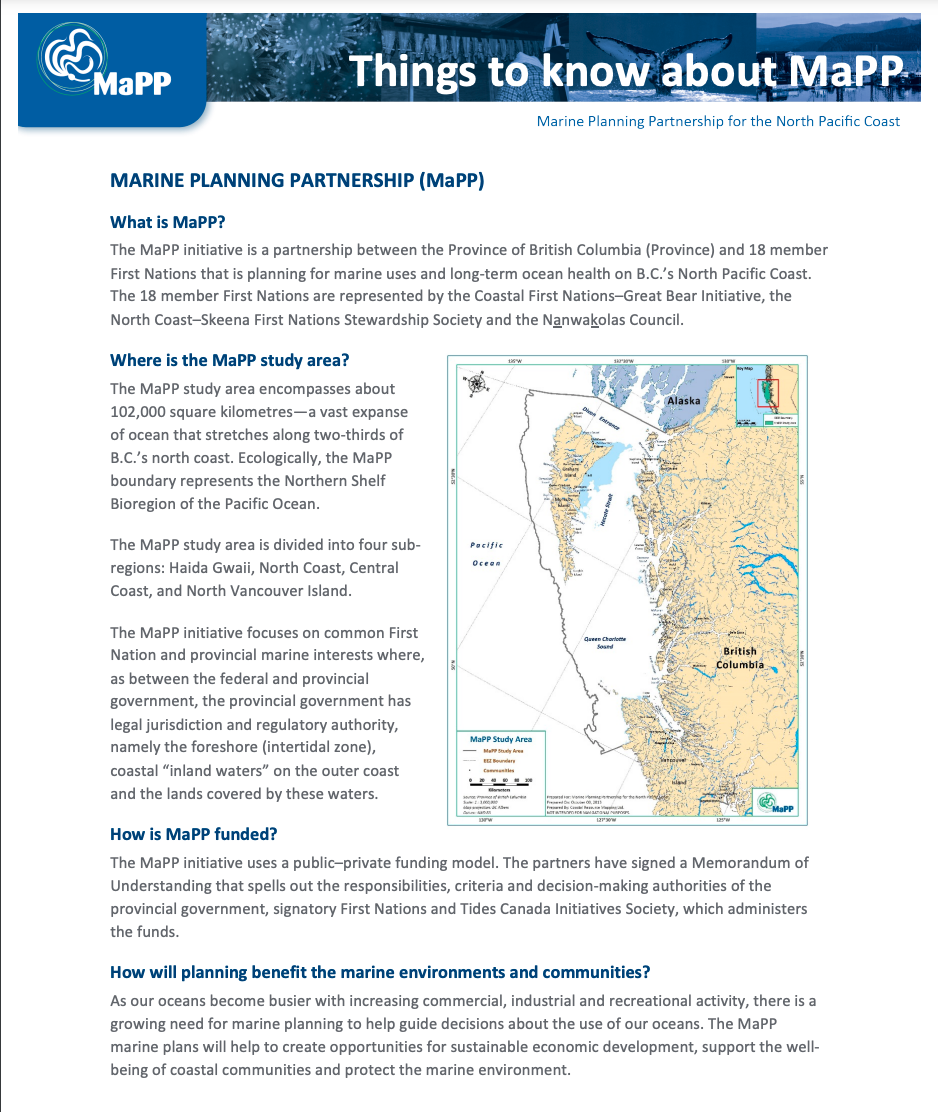
In 2015, this regional planning commitment was formalized through the Marine Plan Partnership for the North Pacific Coast (MaPP), involving 17 First Nations (including all CFN member Nations), Canada and British Columbia working together on collaborative marine planning for the North Pacific Coast—one of the largest marine planning areas in the world.
Recognized as an international model for marine spatial planning, MaPP represents a commitment to ocean health and sustainable marine use into the future. It’s a one-of-a-kind planning effort that’s informed by both scientific and traditional knowledge, and shaped by an ecosystem-based management approach that integrates human well-being, ecological integrity and First Nations governance.
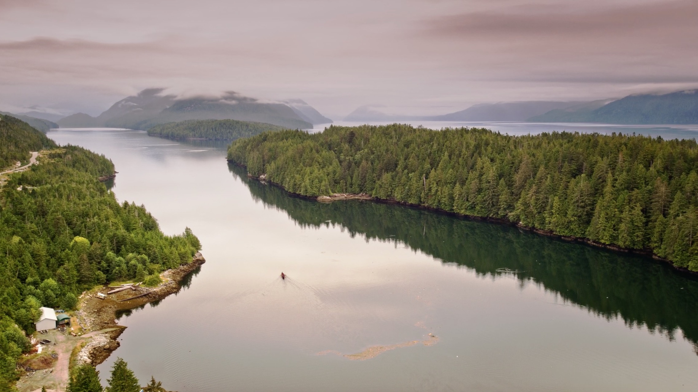
MaPP Planning Area
MaPP marine plans are being developed for four key sub-regions: Central Coast, North Coast, Haida Gwaii and North Vancouver Island.
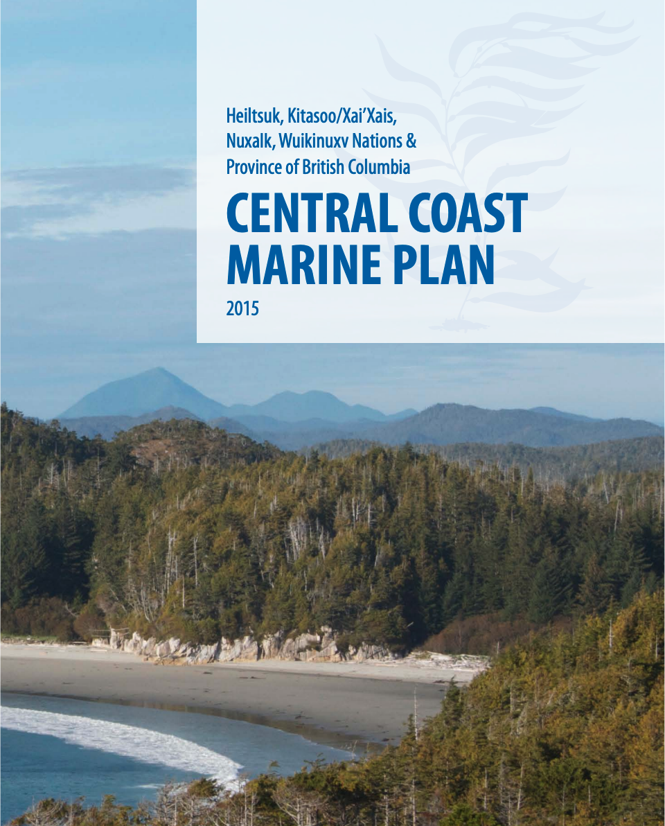
- Central Coast Marine Plan – developed jointly by the Heitsuk, Kitasoo Xai’xais, Nuxalk and Wuikinuxv Nations and the Province of BC, with input from communities, stakeholders, local governments and the public.
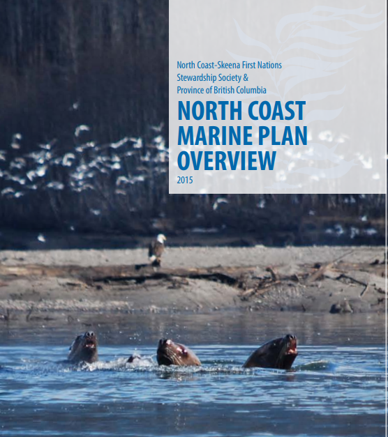
- North Coast Marine Plan – developed through the Gitga’at, Gitxaała, Haisla, Kitselas, Kitsumkalum and Metlakatla First Nations, supported by the North Coast-Skeena First Nations Stewardship Society in collaboration with the Province of British Columbia.
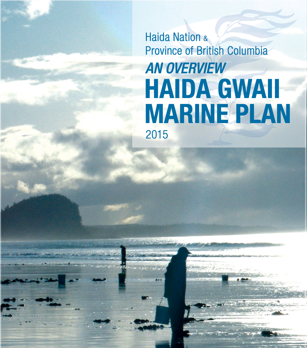
- Haida Gwaii Area Marine Plan – developed with the co-leadership of the Council of the Haida Nation and the Province of British Columbia, with input from local communities, industry and other coastal stakeholders.
North Vancouver Island Plan – developed by members of the Nanwakolas Council and partners: Mamalilikulla-Qwe’Qwa’Sot’Em, Tlowitsis, Da’nakda’xw-Awaetlatla, Gwa’sala-‘Nakwaxda’xw, Wei Wai Kum, Kwiakah and the K’ómoks First Nations.
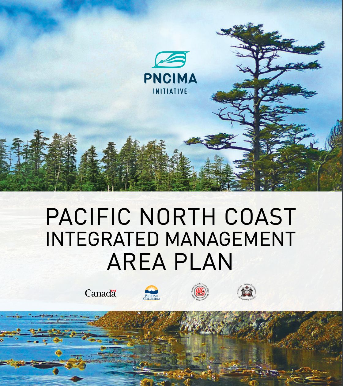
Pacific North Coast Integrated Management Area (PNCIMA)
In 2008, Coastal First Nations-Great Bear Initiative signed an agreement with the federal government to work collaboratively on the development of a marine planning process for the Pacific North Coast Integrated Management Area (PNCIMA).
In 2010, the Province of BC joined the agreement, making it a tri-partite process. In 2017, PNCIMA received full endorsement by First Nations, Canada and British Columbia.
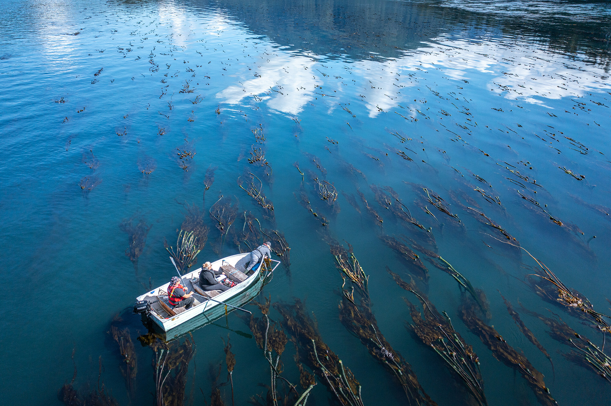
Collaborative Ocean Governance
PNCIMA is an agreement creating a collaborative model for ocean governance that ensures First Nations’ meaningful participation in the development of marine use management plans for the North Pacific Coast.
Canada’s Oceans Act, passed in 1997, calls for management plans to be developed for large ocean areas, LOMAs, on all three coasts. LOMAs are large marine areas that share similar ecological characteristics, such as the north Pacific coast region.
The PNCIMA plan sets broad planning goals and strategies for the management of 102,000 square kilometres of ocean area in the Great Bear Sea, applying to the same ocean area as the Marine Plan Partnership for the North Pacific Coast, MaPP.
The plan is high level and strategic and is a commitment to integrated, ecosystem-based and adaptive management of marine activities and resources in the planning area.
PNCIMA Goals
Improved understanding of complex marine ecosystems and changing marine environments.
Integrity of marine ecosystems, primarily with respect to their structure, function and resilience.
Human well-being supported through societal, economic, spiritual and cultural connections to marine ecosystems.
Collaborative, effective, transparent and integrated governance, management and public engagement.
Related Stories
-
Coastal First Nations’ Support for Oil Tanker Moratorium Remains Strong
Read StoryContinually raising the spectre of oil tankers risks squandering the goodwill and support of Coastal First Nations for acceptable projects.
-
Open Letter: CFN Urges Prime Minister Carney to Uphold Oil Tanker Moratorium on BC’s North Coast
Read StoryCoastal First Nations vow to never permit oil tanker traffic through the Great Bear Sea.
-
Sustainable Financing for Coastal Marine Management
Read StoryWuikinuxv Chief Councillor Abúk Danielle Shaw speaks about the work to secure sustainable financing for marine protection and management.
-
CFN, Nanwakolas Council and Coast Funds welcome BC investment in the Great Bear Sea
Read StoryCoastal First Nations, Nanwakolas Council and Coast Funds welcome BC government’s $60-million investment in the Great Bear Sea.
Explore more stories:
Resources
CFN produces a wide range of reports, fact sheets and other publications. Check back regularly, as we will post new resources here.