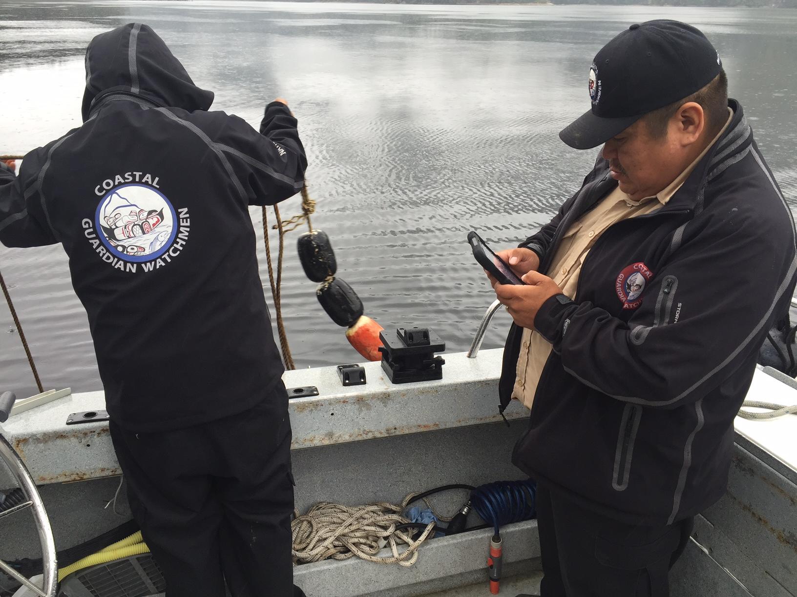
A successful case study in marine stewardship, Coastal Guardian Watchmen’s Regional Monitoring System could be a model replicated by Indigenous Guardian programs nationwide.
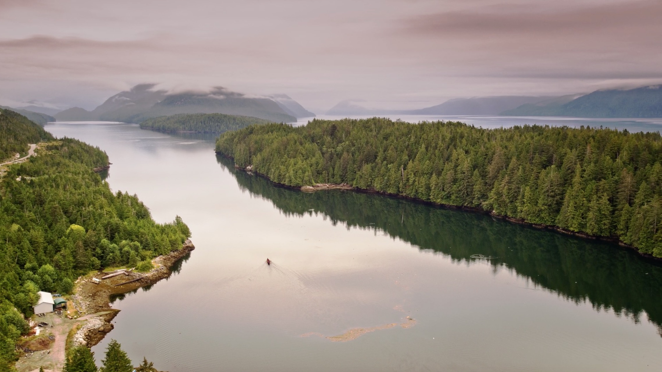
For countless generations, Indigenous people have been the stewards of BC’s North and Central Coast and Haida Gwaii – protecting the wildlife and ecosystems that sustain the health and well-being of coastal communities.
Although the responsibility to care for these lands and waters has never changed, techniques used to monitor the coast have evolved over time. Today, Indigenous Guardians use an effective mix of local, Indigenous knowledge and a host of mapping tools and technologies.
At the third annual Indigenous Mapping Workshop, held in Vancouver from November 7-10, mapping experts and community leaders from across North America and from as far away as New Zealand gathered together to brush up on new technologies and share ideas on how they could be used to advance Indigenous rights and interests, as well as efforts in sustainable resource management.
It was the perfect opportunity to highlight the many benefits of Coastal Guardian Watchmen’s Regional Monitoring System (RMS), which provides Coastal First Nations with a set of tools to collect and access information, and report what’s happening in their territories along the BC coast.
“It’s a standardized approach for patrolling the coast using up-to-date technology,” says Lara Hoshizaki, RMS Coordinator for the Coastal Stewardship Network. Developed in 2010, the RMS ensures effective monitoring and data collection techniques at a regional scale, which means it encourages ongoing data-sharing between Nations as well.
In a co-presentation with Vernon Brown, who works with the Kitasoo/Xai’xais Integrated Resources Authority, Hoshizaki offered workshop participants an overview of the RMS – why it was created, how it’s managed and how it benefits participating communities along the coast.
Hoshizaki and Brown outlined both the challenges and benefits of the RMS, as well as some key lessons-learned from the first six years it has been used.
“Monitoring systems must be developed according to the specific needs and priorities of each region,” says Hoshizaki, adding that it’s also important to develop baseline data collection protocols and methodologies to guide effective monitoring. “Beyond being a tool for First Nations to take care of coastal ecosystems,” she says, “the RMS helps build on the existing skills of stewardship staff, while supporting positive collaborations between Nations.”
Vernon Brown says the RMS was created to monitor a range of issues and indicators for coastal communities, including commercial and recreational hunting and fishing, impacts to cultural and ecological sites, and the health of critical ecosystems and coastal wildlife species, such as crab, rockfish and salmon. “The data we collect is used in many ways,” he says, referring specifically to Kitasoo/Xai’xais territory. “It involves everything from resource planning and wildlife conservation, to reporting back to community leaders and residents, or informing government-to-government discussions.”
The applications of monitoring systems may change depending on each local region, but there will always be good reasons to expand these efforts to a regional scale. And as Indigenous Guardian programs build momentum across the country, these kinds of monitoring systems are sure to be a central part of Indigenous stewardship efforts on the ground.
Feature Image: Lara Hoshizaki


